

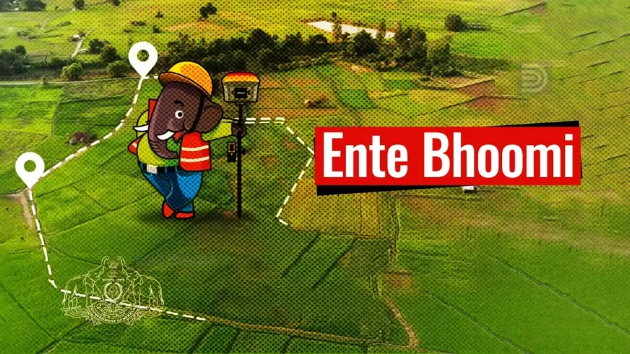
Kerala’s 'Ente Bhoomi' Sets Global Standard in Land Reforms

Web desk
Published on Jun 28, 2025, 12:47 PM | 4 min read
Thiruvananthapuram: “I have been travelling globally and I could see that the Ente Bhoomi (My Land) mission by Kerala is taking the state to one among the global countries, like Estonia, Australia, etc. I had a two -year interaction with the Kerala team from the very initial stages of the launch of the Ente Bhoomi programme,” said Dr. Mika Petteri Torhonen, Lead Land Administration Specialist at the World Bank, speaking at the Ente Bhoomi Conclave.
He praised Kerala’s land governance system as one of the most advanced and integrated in the country. Highlighting the state's strong focus on citizen empowerment, transparency, and inter-departmental coordination, he called it a national benchmark in digital land reforms. He expressed astonishment at the progress made within just two years, particularly applauding the seamless integration of three departments and the implementation of same-day registration and mutation services.
Kerala's Digital Land Survey
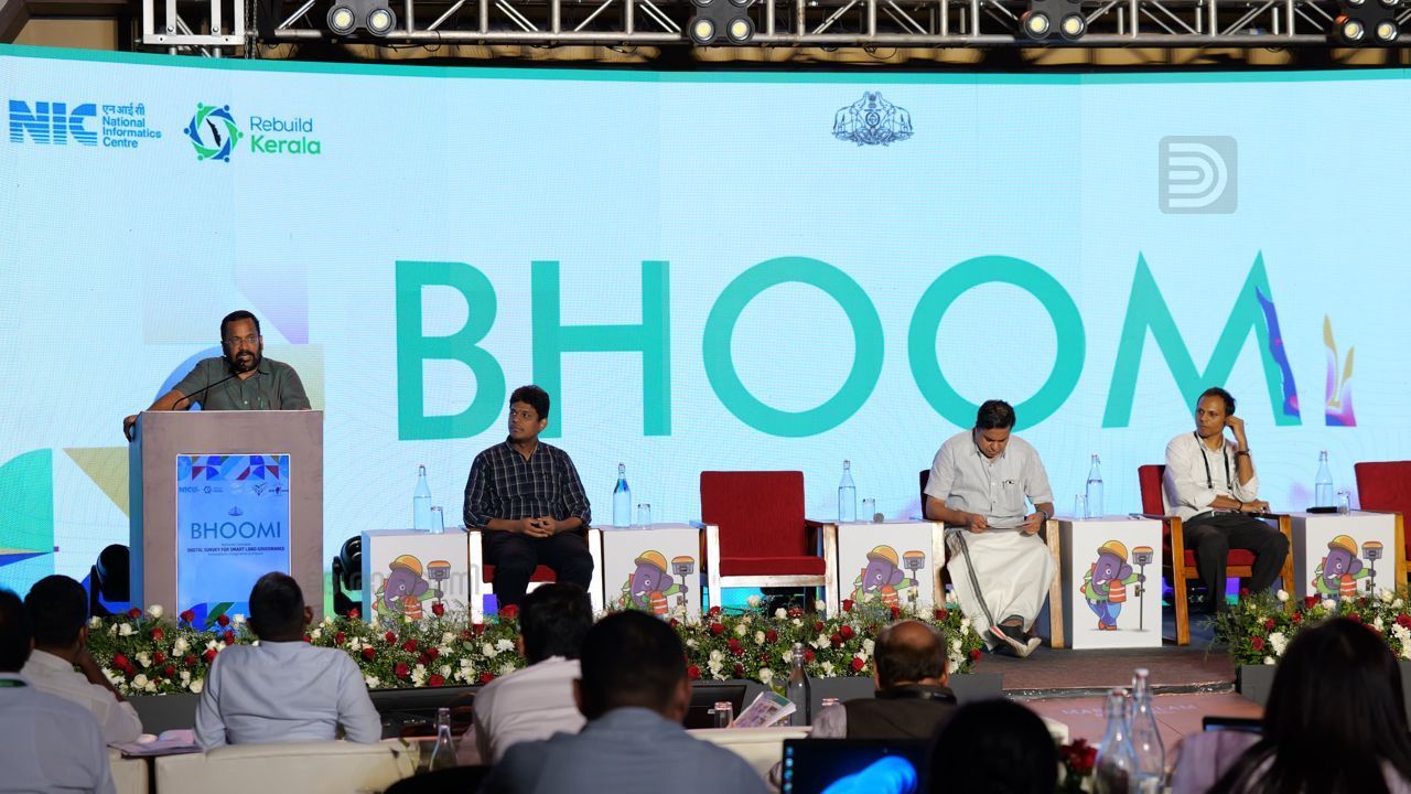
Kerala is leading the way in modernising land governance through its ambitious Integrated Land Management System (ILMS) known as Ente Bhoomi. The initiative was the central focus of the Ente Bhoomi Conclave, held in Kovalam, where key officials showcased the state’s efforts in leveraging technology, organisational integration, and public participation to bring transparency and efficiency to land administration.
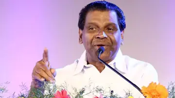
 Revenue Minister K Rajan at the Ente Bhoomi Conclave in Thiruvananthapuram, marking Kerala’s milestone in digital land governance integration.
At the conclave, Kerala’s Survey Director Sambasiva Rao provided a comprehensive overview of the ongoing digital land survey, detailing the process, supporting technology, administrative framework, and the role of citizens in the success of the initiative. He explained that the Ente Bhoomi portal is the backbone of the ILMS, offering unified, citizen-centric services by integrating three crucial departments, registration, revenue, and survey, into a single digital platform.
Inspector General of Registration Sreedhanya Suresh gave a detailed presentation on the Ente Bhoomi portal and its real-time land records updating features. She announced that the project marks the transition from conventional 10- to 16 -page land documents to a simplified, template-based system. In the new model, land registration documents will be condensed into three to four pages and will feature a pre-mutation sketch, which maps the specific area of land being transferred and includes ownership and revenue details.
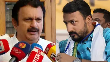
 Speaker A N Shamseer at the Ente Bhoomi Conclave in Kovalam
In villages where the digital survey has been completed, it is now mandatory for all land sale and purchase applications to be submitted via the Ente Bhoomi portal. The mutation of property (pokkuvaravu) from the seller to the buyer is automatically integrated into this process. The pre-mutation sketch, required for all transactions, reflects any change in land area and includes the property's revenue record (thandaper), making a separate mutation application unnecessary.
The Revenue Department has issued detailed procedural guidelines for handling land transfers and tax payments in digitally surveyed areas. Tax will be assessed based on data in the new digital Basic Tax Register (D-BTR). Upon submission of an application through the portal, the village officer will conduct a one -time verification of documents before issuing a tax receipt. This online receipt will list both the old and new survey or resurvey numbers, making it accessible and verifiable by landowners, banks, and other stakeholders.
A key improvement is that land tax payments are now calculated based on the accurate area specified in the digital survey records. In case of discrepancies, landowners can file complaints online using the Digital Land Records Management System. To support clarity in handling complaints, the digital survey sketch will include a colour -coded system. Green indicates spelling errors in the owner’s name or address on the D-BTR and D-Thandaper Register. Yellow denotes issues related to land ownership or area discrepancies. Red identifies land parcels that share boundaries with government-owned land. In the case of yellow and red sketches, a watermark will be added to the pre-mutation sketch to indicate that further changes may occur based on complaint outcomes.
As of now, the digital survey has been successfully completed only in Ujarulvar village in Kasaragod district as a pilot. However, the Revenue Department has announced that notifications will be issued after the project is completed in 150 villages.
Kerala’s innovative approach to land management has drawn national attention. Several states and union territories have consulted Kerala to learn from the Ente Bhoomi model and explore how it can be replicated in their own regions. Kerala has agreed to provide software support to Assam and extend technical and advisory assistance. A team from Puducherry visited Kerala recently to study the implementation in person, and a virtual session was held for officials from Rajasthan who are considering adopting a similar framework.
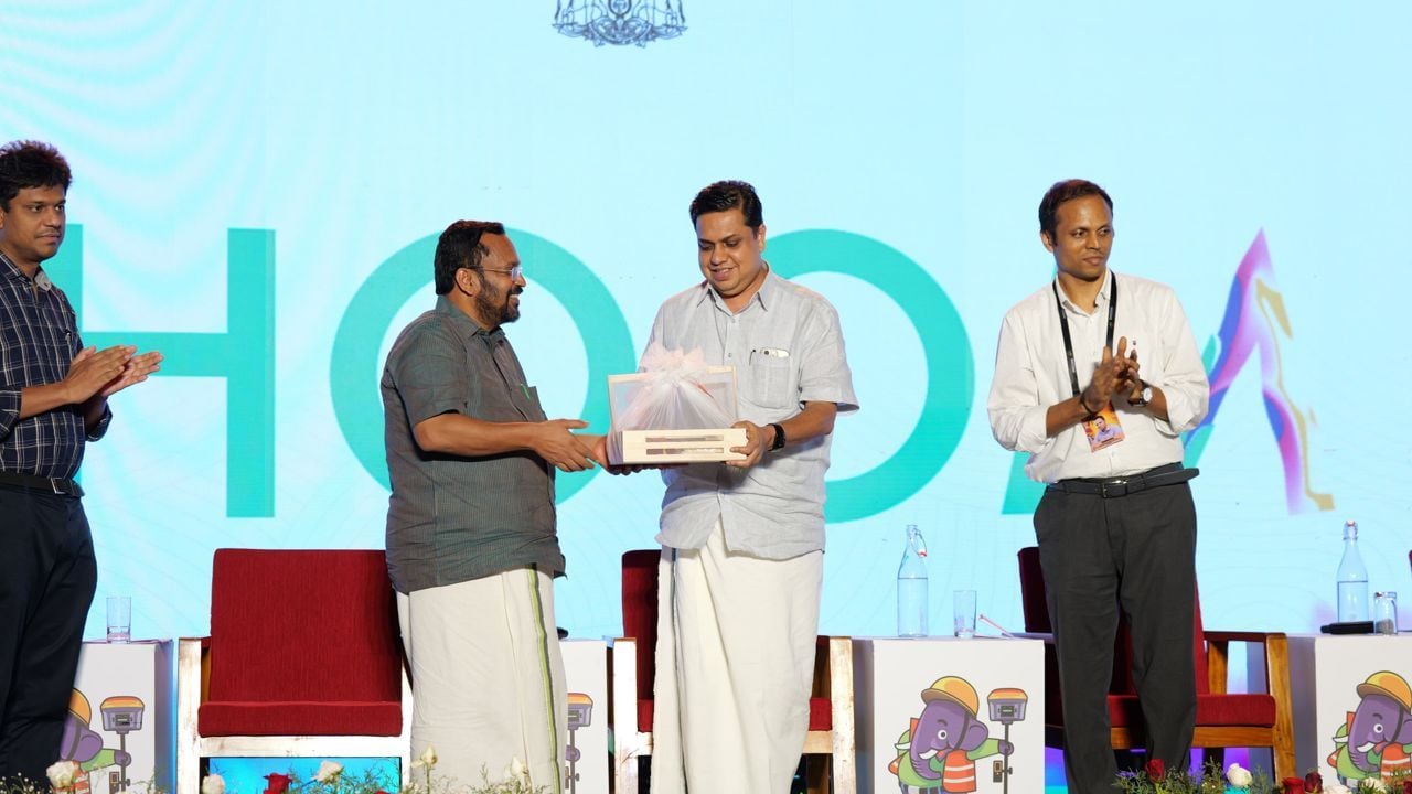
The two day conclave, jointly organised by the survey and revenue departments, concluded on Friday and was attended by 123 participants, including ministers and senior bureaucrats from 22 states and union territories. The discussions focused on various aspects of land management, with Kerala’s Ente Bhoomi initiative serving as a reference model for others to follow.


0 comments